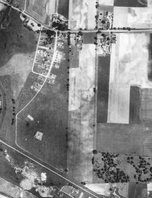
A neat bit of history courtesy of the cartographers at the UW. This is an image of a chunk of Madison's Eastmorland neighborhood in 1937 from their Wisconsin Historic Aerial Imagery Finder.
It looks like Leon and Lansing Streets are partially in place (with a block of Dawes too), branching off of Milwaukee Street going south. There's the Voit farm. I believe the house across the street and to the east near the tree line from it is still there. That house in the upper-right, just east of Starkweather Creek is 3453 Milwaukee Street and still there.
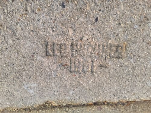
Development in the neighborhood was slow until 1950 when homes really started going up like gangbusters. There is still a sidewalk slab at Walter and Milwaukee from what looks like 1951.


No comments:
Post a Comment